Hollister Ranch · Gaviota Coast, California
113 private, bluff-top acres — Parcel 107 of the last untouched 14,400-acre stretch of California’s coast.
Watch the Tour
A tour of Rancho Alegria, Parcel 107.
0
Private acres
0
Acre ranch
0.0 mi
Untouched coastline
0
Ranch founded
Welcome to the Ranch
Hollister Ranch is a private, gated 14,400-acre cattle ranch spanning 8.5 miles of undeveloped Pacific coastline on the Gaviota Coast, just north of Santa Barbara. Named for Colonel William Welles Hollister, who acquired the land in 1866, the ranch was divided in 1971 into roughly 100-acre parcels — permanently protected from further subdivision — and has remained one of the most exclusive and least-developed stretches of coast in the continental United States ever since.
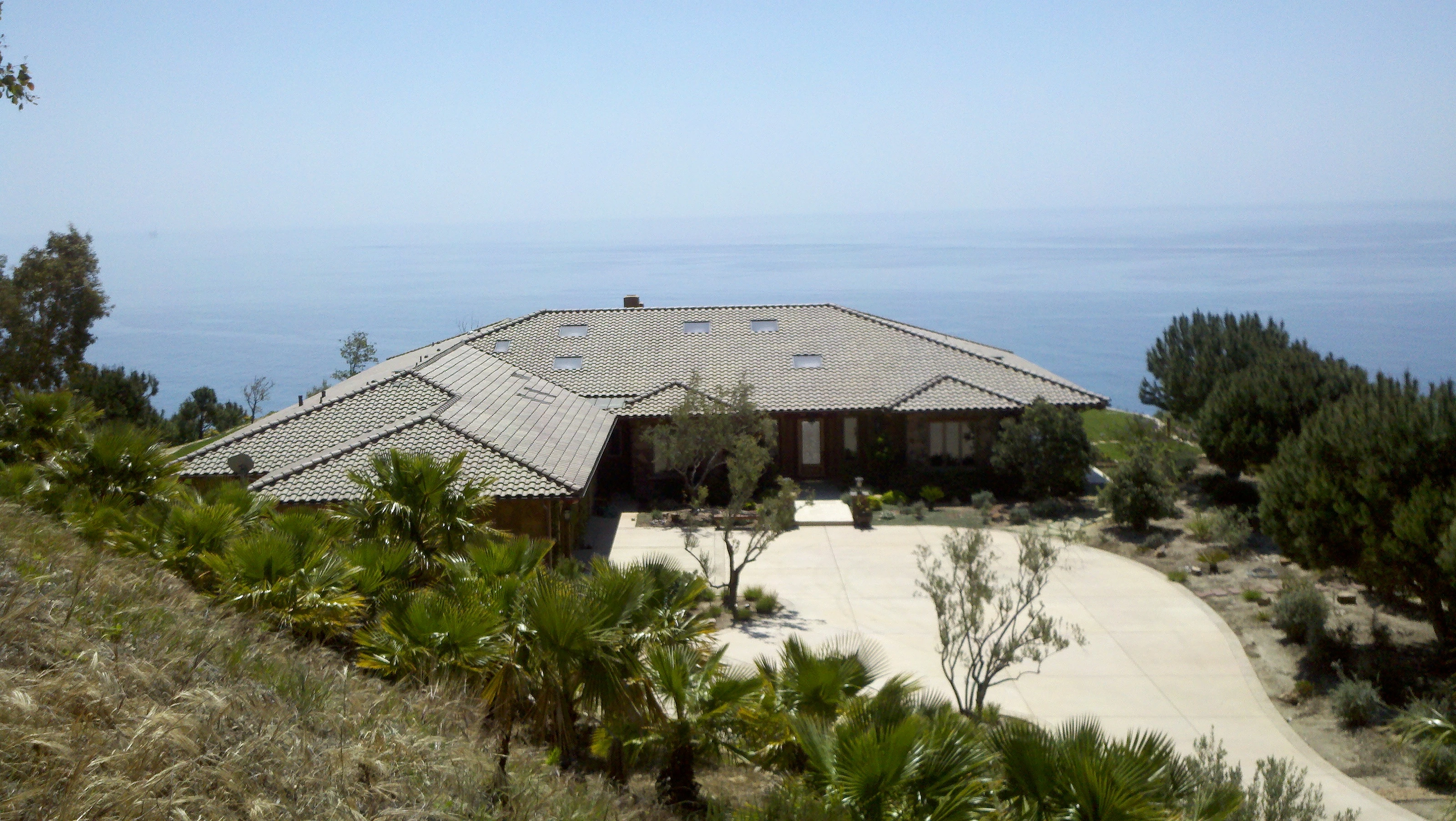
Rancho Alegria, Parcel 107, sits on 113 of those acres: a bluff-top perch above the Santa Barbara Channel, framed by rolling grassland, mature gardens, and an unbroken view of open ocean.
Read the full history of Hollister Ranch →Why Rancho Alegria
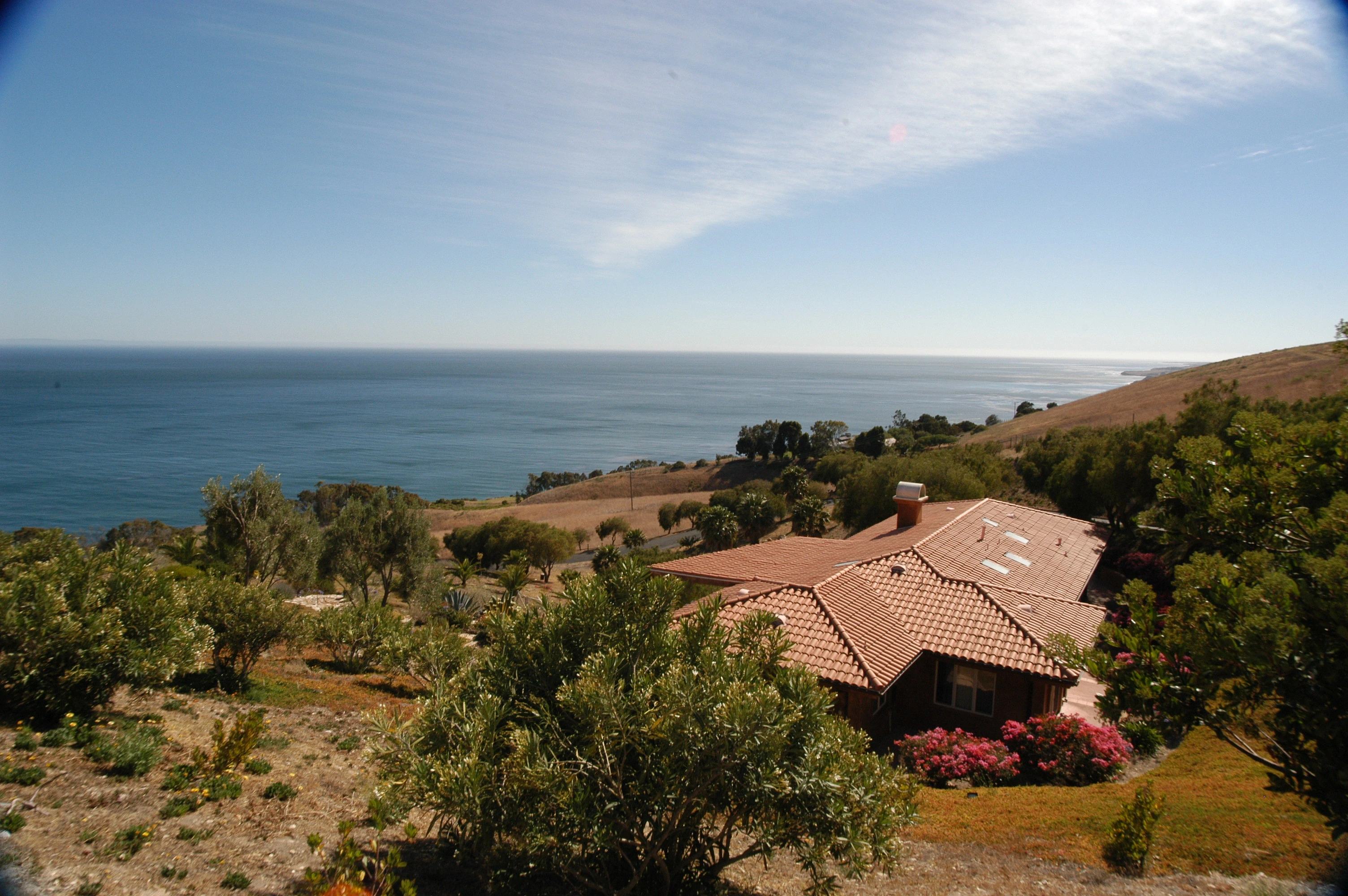
Rancho Alegria occupies 113 acres of bluff, grassland, and garden on the western reach of Hollister Ranch, where the Santa Rosa Hills meet the Santa Barbara Channel, named for nearby Alegria Canyon. Established in 1987 and held by the Clavin family ever since, the single-level main residence was built to disappear into the land around it — terracotta roof tiles, reclaimed wood, and hand-forged iron inside, with every principal room opening onto the same view: open Pacific, unbroken to the horizon.
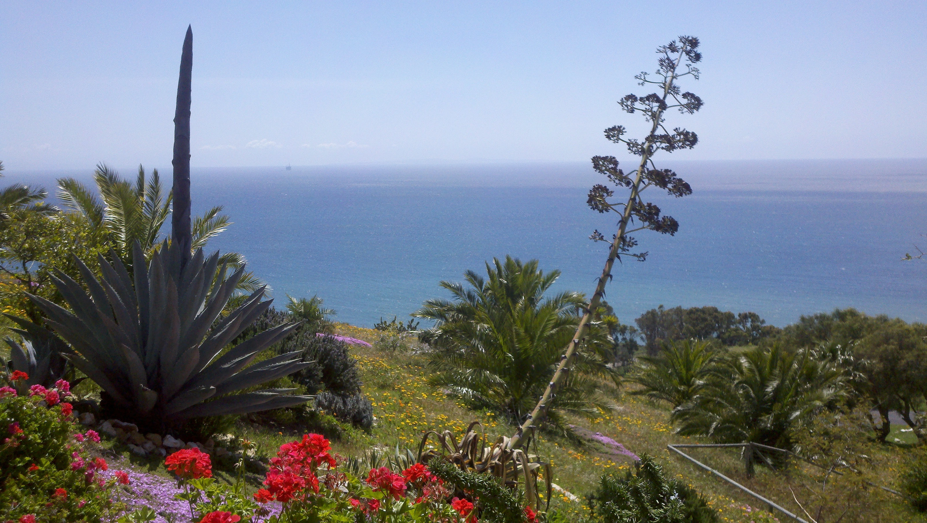
A separate guest house, a private hot tub, a full-size tennis court, a fruit orchard, and landscaped stone pathways round out the grounds, threading between agave and native wildflowers on their way to the bluff’s edge — all inside the ranch’s single guarded gate.
The bluff below fronts Razor Blades, the named point break closest to the Gaviota entrance — putting some of the ranch’s most-surfed water directly out front, not just nearby.
A full parcel of Hollister Ranch's protected 100-acre-minimum land — room to roam, ride, and never see a neighbor.
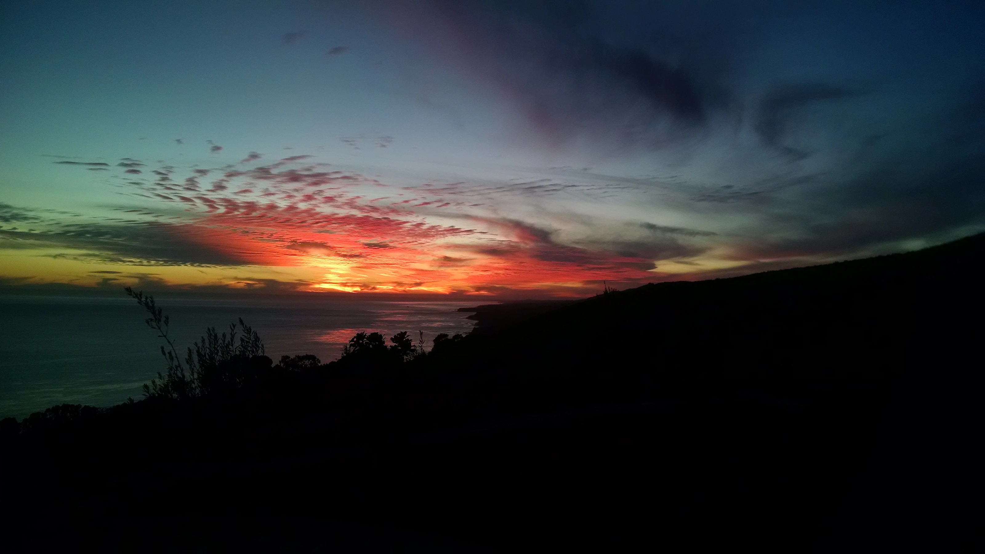
Panoramic, unobstructed Pacific views across the Santa Barbara Channel, from sunrise to whale season.
One private, guarded entrance controls all access to the ranch — total privacy and security, mile after mile.
Parcel 107 sits within Hollister Ranch's storied 8.5-mile stretch of point breaks, among the finest in the continental US.
Rancho Alegria sits directly across from Razor Blades, the named point break closest to the Gaviota gate — a rare, walk-out surf address, not just a nearby one.
A single-level home with terracotta tile roofline, hand-forged ironwork, and a wraparound window-seat great room built to frame the horizon.
Surrounded by an active cattle cooperative and native grassland — no light pollution, no traffic, just open land.
A full-size tennis court set into the bluff, backdropped by open Pacific and the ranch's coastal hills.
A separate guest house alongside the main residence gives visiting family or friends their own private space.
A hot tub set into the grounds for soaking after a day on the water or the trails — steps from the main house.
Hollister Ranch maintains an extensive network of equestrian trails across its 14,400 acres, open to owners and their guests.


Gallery
Photographs of the residence, gardens, and coastline — taken across different seasons and years at Parcel 107.
History & Land
Few places on the California coast remain as they were two hundred years ago. Hollister Ranch — 14,400 acres of grassland, oak canyons, and 8.5 miles of undeveloped shoreline on the Gaviota Coast, just northwest of Santa Barbara — is one of them. Its history runs from Spanish land grants through a century of ranching to a private conservation-minded ownership model that has kept it wild ever since.
9,000+ years ago
The Chumash people inhabited this stretch of coast for millennia before European contact, drawing on its rich tidepools, kelp forests, and sheltered coves — some archaeological accounts date occupation at Point Conception itself back as far as 18,000 years. At the ranch's western tip, Point Conception — Humqaq in the Chumash language — was considered the sacred "Western Gate," where the souls of the dead were believed to depart the mortal world for the afterlife, and remains a cultural keystone site studied by archaeologists today.
1542
Juan Rodríguez Cabrillo sailed past the Gaviota Coast, the first European known to have sighted this shoreline.
1794
Spanish soldier José Francisco de Ortega — who had scouted for the 1769 Portolá expedition and helped found the Santa Barbara Presidio — was granted the land as a retirement reward from the Spanish crown.
1866
Col. William Welles Hollister, an Ohio entrepreneur who had driven some 10,000 merino sheep west in 1854, acquired the land in partnership with the Dibblee brothers. When the partnership later divided its holdings, this parcel went to Hollister — giving the ranch its name.
1899–1961
The Hollister family ran cattle and sheep across the ranch for roughly a century. Jim Hollister, the colonel's youngest son, became ranch superintendent in 1899 and led the operation until his death in 1961.
1971
Following a brief, failed plan by a subsequent owner to build a resort community for 20,000 residents, the ranch was subdivided into individual parcels of 100 acres or more — permanently protected from further subdivision by county mandate.
1976
Governance of shared roads, utilities, and the working cattle cooperative passed to the newly formed Hollister Ranch Owners' Association, which continues to run cattle on the property today.
Today
Nearly 1,000 owners now hold interests across the ranch's 136 parcels — 133 privately held, plus three reserved for shared ranch operations. A single guarded gate controls access along the ranch's private two-lane road, and the overwhelming majority of the property remains open grazing and native habitat.
“The Ranch”
In the summer of 1957, a Santa Barbara surfer named Bob Perko paddled out below the ranch on a friend’s invitation and found waves few outsiders had ever seen. By 1960 that loose group of locals had formalized into the Santa Barbara Surf Club, with board shaper Renny Yater as its founding president, a board of directors, $25 annual dues, and membership capped at 60. Landowner Clinton Hollister, worried about vandalism on the property, struck a deal: club members could keep surfing the ranch as long as they policed it against outside trespassers. Over the next decade, members explored and named most of the breaks still surfed today, and built driftwood shacks along the shore for gear and overnight stays — dismantled around 1970 as the ranch was subdivided into private parcels.
The club’s founding roster read like a who’s-who of Santa Barbara surf history — Yater, John Bradbury, the Perko brothers, Arlen and Tim Knight, and a young board-and-fin experimenter named George Greenough. Greenough tested his radical flex-tail kneeboards in the ranch’s waves through the early 1960s, including a dolphin-fin-inspired swept fin he carved for a blunt-nosed balsa “spoon” kneeboard in 1961. Those designs directly influenced Bob McTavish and Nat Young, who rode a Greenough-designed flex fin to the 1966 World Title — meaning waves ridden quietly at Hollister Ranch helped spark a revolution in surfboard design that reshaped the sport worldwide. Yater, who had opened Santa Barbara’s first surfboard shop in 1959, would later become known for his own influential “Yater Spoon” longboard model.
Waves ridden quietly at Hollister Ranch helped spark a revolution in surfboard design that reshaped the sport worldwide.
Eight named breaks run west to east along the ranch’s coast, nearly all rock-bottom right-hand points that produce long, high-lining walls — a wave shape credited with shaping Santa Barbara’s own tradition of longboard shaping. Cojo and Perko’s, at the western end, are the only breaks that reliably catch summer south swells wrapping around Point Conception; everything east of them falls into the swell shadow of the Channel Islands and leans on winter west swells instead.
Government Point
Big W swells
A long, rocky right point near Point Conception, once reachable by ranch road — now accessible only by boat.
Cojo
SW summer, big W winter
Widely considered the best wave on the ranch's western stretch — a reef and point that holds both big winter swells and summer south swells wrapping around Point Conception, an exposure most of the ranch's more easterly breaks don't share.
Perko's
S summer swells
A cobblestone right point named for founding Surf Club members Bob and John Perko; a reliable summer break that needs a south swell to turn on.
Drake's
Big W swells
The ranch's longest right point, holding well-overhead west swells up to double overhead with a long, workable wall.
Little Drake's
W swells
A smaller, more forgiving break named alongside Big Drake's by the Santa Barbara Surf Club.
Utah
W/NW swells
One of the breaks named by the Santa Barbara Surf Club during its decade exploring the coastline.
St. Augustine's
S summer swells
An average wave with both rights and lefts, best on summer south swells.
Razor Blades
Big W/NW swells
Named for the sharp rocks lining the beach; the break closest to the Gaviota launch, needing a big west or northwest swell. Rancho Alegria (Parcel 107) sits on the bluff directly above it.
California law guarantees the public the tidelands below the mean high tide line on every beach in the state, Hollister Ranch included — but reaching that strip of wet sand means a boat or a long paddle from Gaviota State Beach, since there is no overland public access to the coast. In practice, that leaves the named breaks the province of parcel owners and their guests, much as it has been since the Surf Club’s era.
That scarcity has its own economy: co-owned parcels, sold in fractional shares specifically for wave access, are common, and Ranch real estate has carried a “surf premium” for decades. A 2022 settlement meant to open a short public access route was later voided by a state appellate court, which found the responsible state agencies had violated public-process law in reaching it. Litigation has continued since, with both sides contesting subsequent rulings as of 2025 — the question of expanded public access remains unresolved.
Conservation
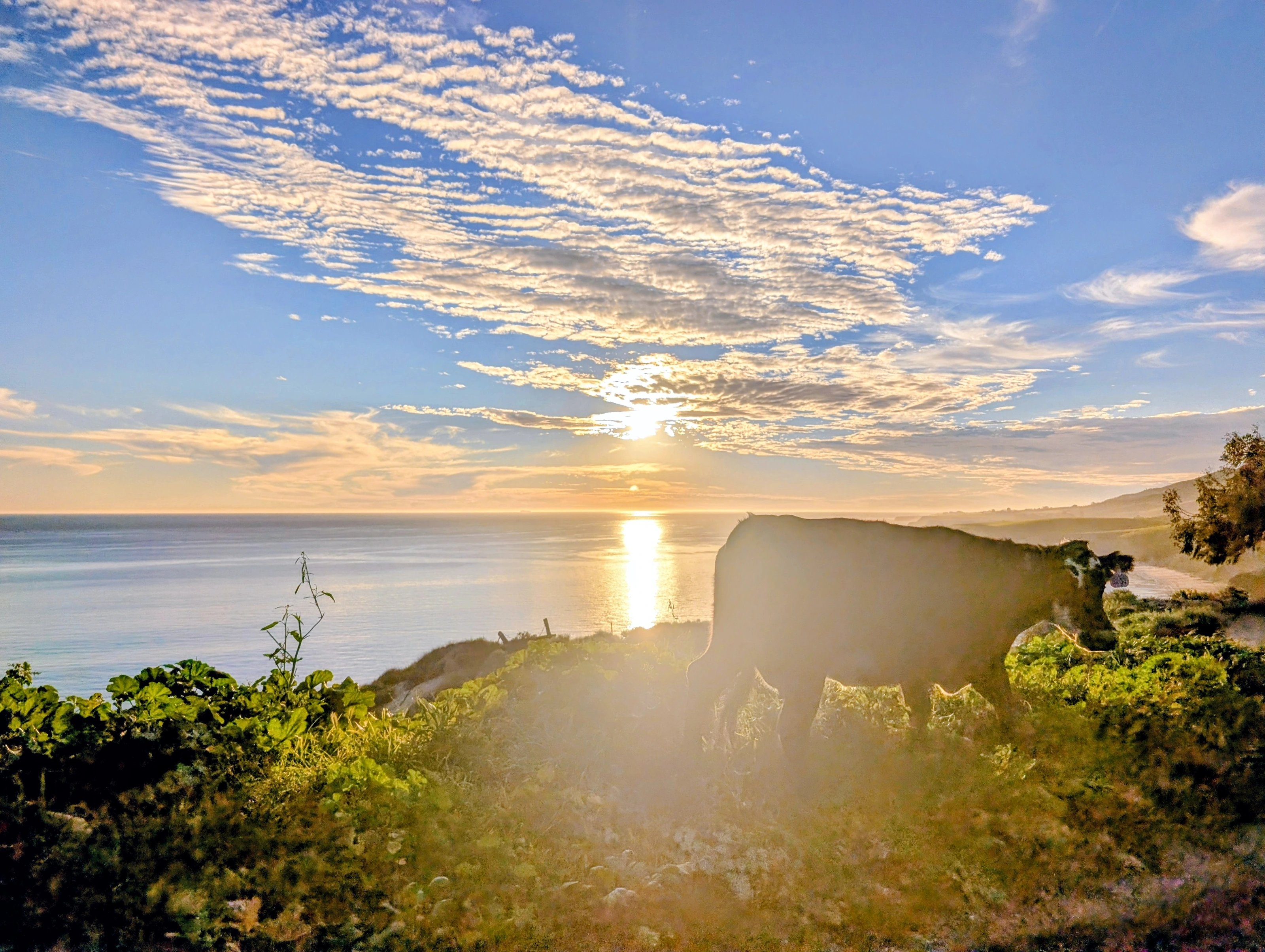
Hollister Ranch has stayed undeveloped by a combination of Santa Barbara County agricultural-preserve zoning, a 100-acre minimum parcel size that cannot be further subdivided, and continuous cattle grazing across nearly the entire property. An Angus cattle cooperative — roughly 400 resident mother cows plus over a thousand young stockers brought in each fall — still works virtually all 14,400 acres, producing grass-fed beef under the same cooperative structure the Hollister Ranch Owners’ Association set up in 1976. The result is one of the largest privately held, intact landscapes on the California coast.
The land itself is still rising: the Gaviota Coast sits on an active fault system, and geologists have measured rock uplift here of roughly one to two millimeters a year, carving the stepped marine terraces visible along the bluffs today. Researchers have used Hollister Ranch’s own land access to date those terraces, tracing the coastline’s slow rise back tens of thousands of years.
The ranch's grassland and coastline support one of the region's richest bird lists, including regionally rare hawks and owls. The endangered western snowy plover fledges here every year, and the Santa Barbara Audubon Society runs organized birding trips to the property.
Mountain lion, black bear, bobcat, coyote, and deer all range across the ranch and the wildlife corridor it forms with neighboring preserves. Below the bluffs, tidepools hold mussels, sea hares, octopus, crabs, and the occasional lobster.
The Gaviota tarplant, found nowhere outside a handful of sites on this stretch of coast, has one of its core populations on Hollister Ranch itself — a rare plant found essentially nowhere else on Earth.
The no-take Point Conception State Marine Reserve, over 22 square miles of protected water, sits directly off the ranch's western end, part of a chain of marine protected areas along the Gaviota Coast.
The nonprofit Hollister Ranch Conservancy runs a free “Tide Pool School” for children ages 5 to 12, a program started in the early 1990s that still brings hundreds of Santa Barbara-area schoolchildren — many from underserved communities — onto the ranch each year at no cost to their schools. The Conservancy also monitors a two-plus-mile stretch of coast it calls the Shoreline Preserve, and partners with researchers from UC Santa Barbara, UCLA, and UC Santa Cruz on ongoing intertidal studies of seaweed, limpets, and water temperature.
Plan Your Season
The ranch changes with the seasons — here’s what to expect through the year.
Dec – Feb
Big west and northwest swells wrap onto Drake's, Little Drake's, Utah, and Razor Blades — the ranch's most consistent, powerful stretch of the year.
May – Sep
Cojo, Perko's, and St. Augustine's come alive on south swells wrapping around Point Conception, an exposure most of the ranch doesn't share.
Dec – May
Southbound whales pass the Channel Islands in December and January; the northbound migration runs closer to shore from February through May, with mother-and-calf pairs hugging the coast into May.
Mar – May
Ice plant, agave, and native wildflowers carpet the bluffs and garden paths each spring, the season captured in much of the property's photography.
Location & Access
Hollister Ranch sits on the Gaviota Coast in Santa Barbara County, about 2 hours 15 minutes from Los Angeles and 30 minutes from downtown Santa Barbara. Because the ranch is a private, gated community with a single guarded entrance, we share Rancho Alegria’s exact address and gate directions directly with confirmed guests rather than publishing them here.
Curious how far you are from the ranch?
Fly the Coastline
An actual terrain map built from real elevation and satellite data — not a photo. Watch the opening flight from Point Conception east along the ranch toward Gaviota, then drag to rotate, tilt, and explore the coastline yourself.
Loading terrain…
2h 15m
Los Angeles
30 min
Santa Barbara
8.5 mi
Ranch coastline
1
Access gates
Approximate property location — Hollister Ranch does not publish exact coordinates or gate directions
Explore the coastline in Google Earth →From Above
Where the terrain map shows the land, these are the real aerial photographs of Rancho Alegria on it.
Contact
This site is for information only. For more information or questions about Rancho Alegria, reach out directly — by email or by phone.
Frequently Asked
Live conditions · updates every 30 min
Weather
73°F
Clear sky
Wind 6 mph S
Surf
2.8 ft
2.2 ft swell · 7s
From the WNW
Tides Today
Sun & Moon
Sunrise 6:44 AM · Sunset 7:05 PM
Waxing Crescent · 26% lit
Weather & swell: Open-Meteo · Tides: NOAA Gaviota State Park station
